


8.4 km | 11.7 km-effort

User


FREE GPS app for hiking
 SityTrail
IGN / Geographical institutes
SityTrail World
The world is yours!
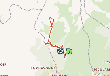
Trail Touring skiing of 13.9 km to be discovered at Auvergne-Rhône-Alpes, Savoy, La Plagne-Tarentaise. This trail is proposed by nadd73.
Départ : Les Pars
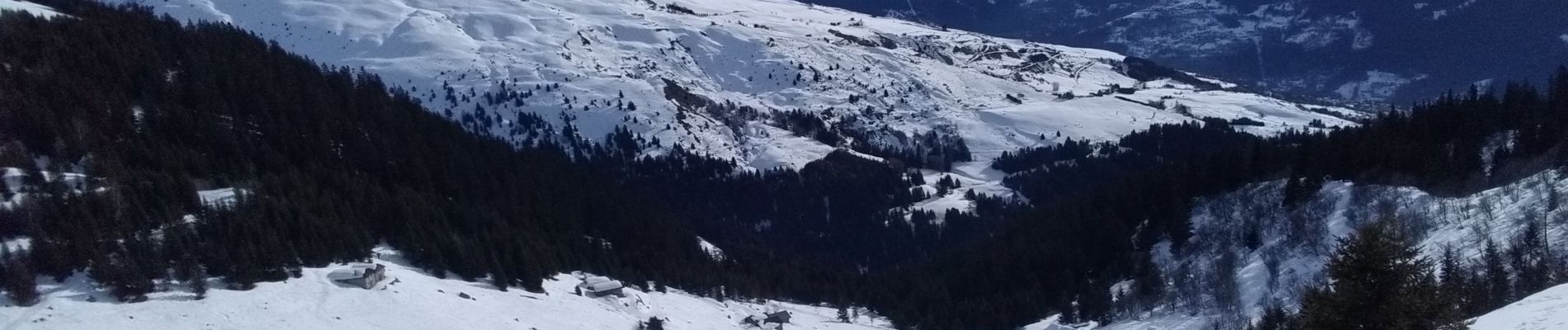
Nous sommes allés à la Chaille pour voir le couloir Nord.


Walking

Walking
Walking

Snowshoes
Walking
Walking
Walking
Walking
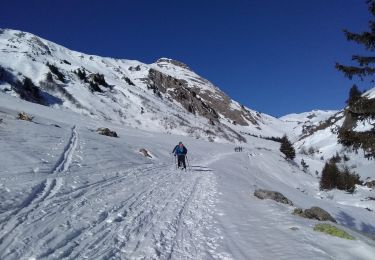
Touring skiing